|
Conard Meadows shuttle
season:
Aug-Oct (snow Nov-mid July, mosquitos July, creek crossings
may be difficult prior to August))
length:
8.0 miles (5.8 mile shuttle)
elevation gain: 800'
elevation range:
6400-8400'
rules:
Lassen National Park |
trailhead map
hike map
How-to-print-maps
current weather
forecast
|
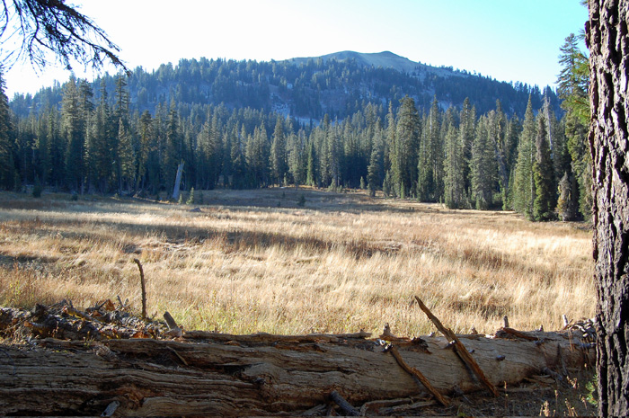
A hike that visits some of the most scenic country in the
Park, but is nonetheless mostly downhill. It requires
a shuttle (provide your own) on the Main Park Road.
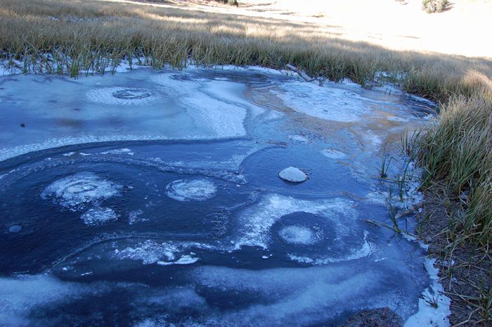
You visit the sulphurous Bumpass Hell, the North Fork Feather
River headwaters freshlet, pretty Cold Boiling Lake,
beautiful Crumbaugh Lake, expansive Conard Meadows, and
oddly dramatic Mill Creek Falls.
The shuttle can be done with
a bicycle, which is an excellent ride, but adds greatly to
the challenge. Recommend to ride down the road, and
hike up the trail (so fewer cars will be passing you on the
narrow roadway) |