This the
shortest of the three uber hikes. It makes a very long
day hike, or do it as an overnight.You can do a brief shuttle
with a bicycle or car, but it is probably easier to just
walk the 1.2 miles of lightly used road between the trailheads. The
16.8 miles listed for this hike includes the road walk.
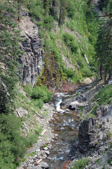
The ford of Kings Creek at Mile
2.6 is in a deep canyon, where the water rages at flood
time. It is the biggest creek forded by any trail in
Lassen Hiking area. Usually it is easy by late summer,
but you may get your feet wet. At higher water it is
dangerous. Much of the
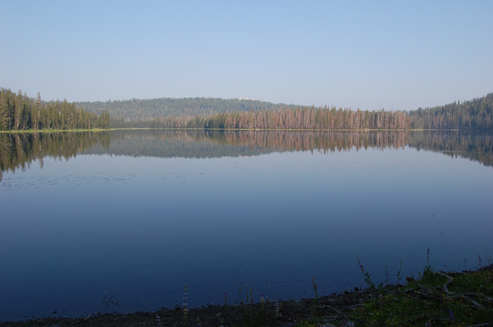
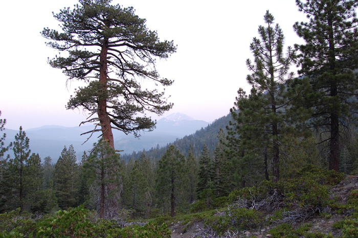
eastern part of the park is gentle, serene, lovely.
This hike has that too, but also has the impressive Kings
Gorge, and a plunging descent from above Juniper Lake down
to the trailhead in Warner Valley. |