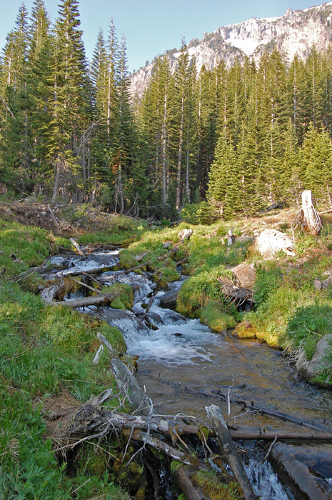
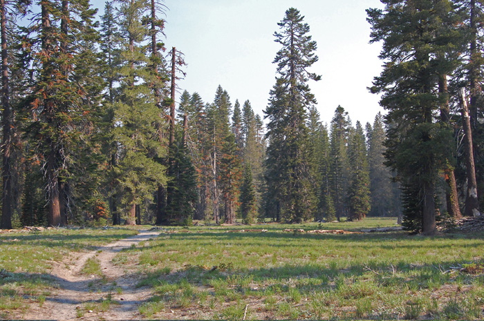
This hike ascends from open,
dry pine forest up to a wet meadow below majestic peaks.
It is odd in that there is no
parking at the trailhead (park at the store, and walk up the
campground road), unless you have a campsite. And at
the upper end the trail abruptly ends at a small meadow,
with no good place for a picnic lunch.
The first half of the way up
is unremarkable, but the second half makes up for that.
You may find it to be the best hike in the Manzanita Lake
area.
The Park Service has
completed environmental review to extend this trail up to
Vulcans Castle (1400' additional gain, and maybe 3 more
miles), and on to the Lassen Peak parking lot. See the
Lassen Peak map.
Our government often makes plans, and doesn't follow through
on them. We'll see. |