We hike the trails of Lassen National
Park and Caribou Wilderness. Our maps are free to you, the
hiker.
member:
Sacramento Valley
Hiking Conference

|
|
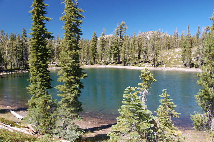
Sifford Lakes semi-loop
season:
Aug-Oct (snow Nov-June, mosquitos July)
length:
5.8 miles
elevation gain: 800'
elevation range:
6800-7300'
rules:
Lassen National Park |
trailhead map
hike map
How-to-print-maps
current weather
forecast
|
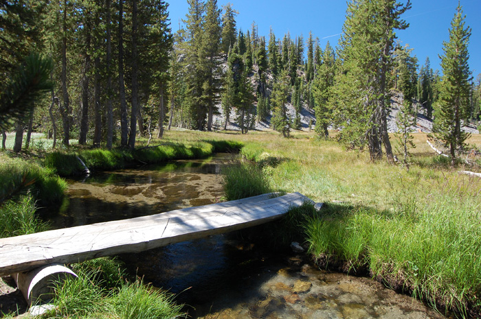
A intriguing semi-loop hike with a sampling of much the
backcountry has to offer. Meadows, lakes, waterfalls,
vistas, and forests.
Includes the opportunity to try a cross-country segment,
thus avoiding trail routing that takes the hiker down a hill
and then right back up it again. You simply leave the trail
at Bench Lake and stay at a level elevation until you rejoin
the trail 1/3 mile later. Take GPS if not confident you
won't get lost in the endless woods.
Otherwise just stay on the
marked trails. |
|
|