We hike the trails of Lassen National
Park and Caribou Wilderness. Our maps are free to you, the
hiker.
member:
Sacramento Valley
Hiking Conference

|
|
Twin Meadows shuttle
season:
Aug-Oct (snow Nov-mid July, mosquitos July)
length:
14.4 miles (15.4 mile shuttle)
elevation gain: 550'
elevation range:
4900-8400'
rules:
Lassen
National Forest &
Lassen National Park |
trailhead map, lower
trailhead map, upper
hike maps
How-to-print-maps
current weather
forecast
|
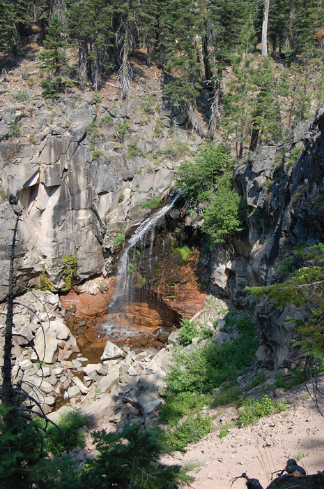
This is a long downhill hike. The elevation change
from the high point near Bumpass Hell down to the end at
Childs Meadow is 3450', greater than that of any other hike
in the Lassen area.
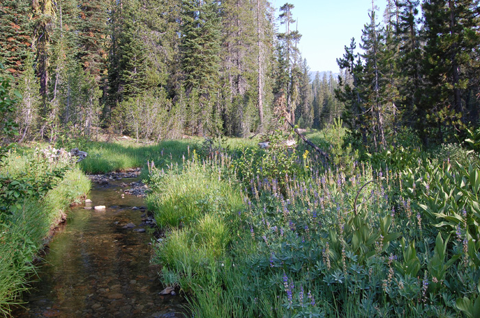
Different species prefer different elevations, and hiker
will visit a variety of habitats on this hike.
This hike samples some of
just about every type of feature found in Lassen, with the
exception of a peak summit.
The trail is rarely used in
the Twin Meadows area, and is faint in places. This is
a trip for experienced hikers.
|
|
|